Apple Maps turns 10-Surely its getting there
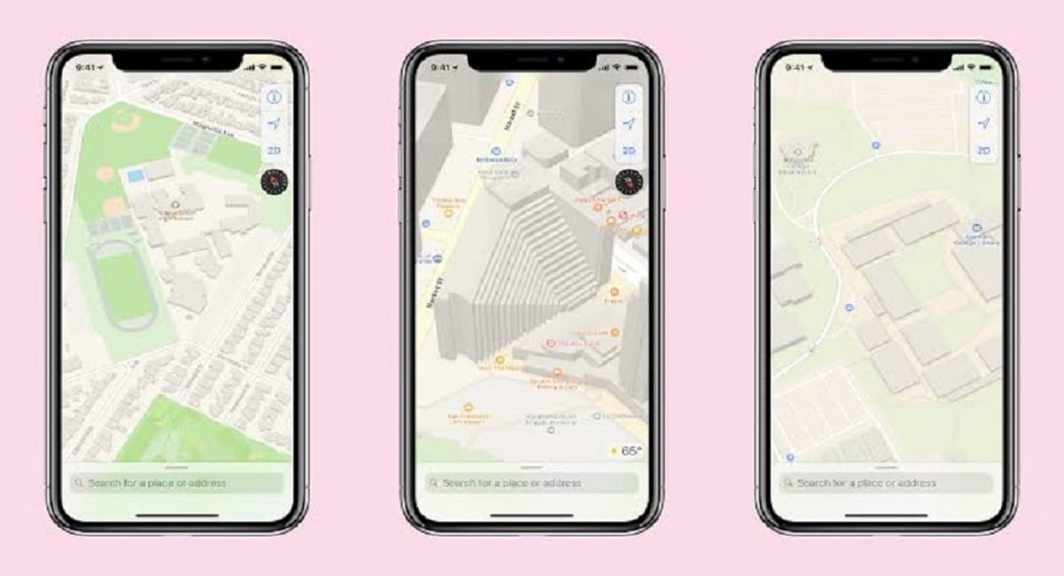
If you have an iPhone, you may view the Brooklyn Bridge on Apple Maps. The 3D picture shows how it spreads over the East River, hanging above the highway on Manhattan’s outskirts and towering over its eponymous park at the point of Brooklyn. When you activate Apple’s Flyover tour, the camera will gently circle the bridge in a satellite perspective on a bright, sunny day, allowing you to peer into the surrounding pavilion, over at the trees on Liberty Island, and across the East River.
“At Apple, we try to create world-class products that provide our users with the greatest experience possible. We fell short of this commitment with the launch of our new Maps last week. We sincerely apologize for any inconvenience this has caused our customers, and we are working hard to improve Maps”, Cook Wrote.
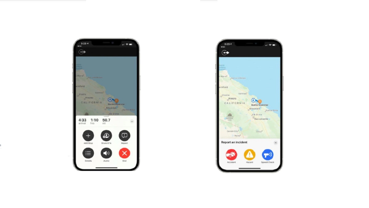
The liquid Brooklyn Bridge was just one of several — to put it mildly — oddities from the launch of Apple Maps, a program that will celebrate its 10th anniversary later this month. The app had one of the most rocky starts in recent memory for any Apple product, but the firm has invested enough in it to make it a superb mapping software and a credible competitor to Google Maps.
Apple Maps arose from a split between Apple and Google. It may be difficult to recall today, but the two firms were quite friendly in the early days of the iPhone. Google’s CEO at the time, Eric Schmidt, was on Apple’s board of directors when the iPhone initially released, and Google Maps and YouTube were two of the few programs that came preloaded on every iPhone.
PTA Taxes Portal
Find PTA Taxes on All Phones on a Single Page using the PhoneWorld PTA Taxes Portal
Explore NowFollow us on Google News!